
Flint Township Neighbors by Block
Public records answer different questions about the parcels around a Flint Township address. A map can identify adjoining polygons. The assessment record supplies owner and tax details. Recorded deeds establish a sequence of ownership transactions. Voter data has a public-record route, but ordinary lookup and a geographic QVF request are not the same thing. Community groups offer public ways to connect, not a directory of private members.
| Source | What It Shows About a Block | Access |
|---|---|---|
| FetchGIS Genesee | Parcel shapes, identifiers, aerial and district context around an address | Public map; live adjacency controls require confirmation |
| Flint Township BS&A | Owner, situs and tax-mailing address, values, parcel and legal description | Public property search; owner is not necessarily the occupant |
| Genesee deed index | Recorded ownership sequence and legal-description trail | Online, counter, copy, or subscription route; older online gap |
| MVIC or QVF | Permitted registration, address, and precinct information | Ordinary lookup or formal geographic request with exemptions |
| Public community routes | Meeting, joining, or program contact information | Public notices only; no member roster |
An owner record and an occupancy fact are different. The owner may use another address for tax mail, and a renter or other household member may not be named in any property filing. That distinction is central when identifying Flint Township neighbors from public sources.
Flint Township Neighbor Subject Parcel
Begin with the exact situs address, including a directional prefix, suffix, or unit detail when applicable. Find it in FetchGIS Genesee or through the Flint Township property route. Record the subject parcel number and legal description before looking at the adjoining shapes. Genesee County's GIS disclaimer says its map data comes from public records, is not a legal survey or record, and carries no warranty.
The map is a selection tool. It helps locate the parcel and adjacent identifiers, but an ownership statement belongs to BS&A or the Register of Deeds. A rear parcel, road right-of-way, condominium interest, or leased-land building can look close on the map without being the kind of neighboring residential lot a reader expects.
Mapping Flint Township Neighbor Parcels
The record trail should move from a subject address to the parcel polygon, then outward one contiguous shape at a time. The legal description keeps that map trail tied to the proper land record. The county materials describe parcel maps, aerial years, measurements, coordinates, and map layers, but do not confirm a dedicated neighbor button or live buffer control.
- Locate the subject address, select its polygon, and save the parcel number, situs address, and legal description.
- Walk the contiguous polygons in one direction, recording each nearby parcel ID and situs address rather than relying on visual distance alone.
- Open each selected property in Flint Township BS&A to compare the parcel number, owner, tax-mailing address, and description.
- Use the current owner or legal description in the Genesee Register of Deeds index when a recorded ownership sequence is needed.
Ownership should be confirmed by the recorded or assessment source, not by the outline alone. For a whole named street rather than the immediate block, the Flint Township street directory follows the longer address-record chain.
Note: Map adjacency can be misleading where a plat, easement, condominium, or right-of-way interrupts ordinary lot boundaries.
Flint Township Neighbor Parcel Codes
Genesee parcel numbers carry geography that helps prevent false adjacency. The county example uses components for the county, township or city, quarter-section, subdivision or condominium, and section or suffix. Pairing that number with the legal description prevents a search from jumping between similar addresses, a rear parcel, or a distinct interest within the same development.
- 100-400: metes-and-bounds
- These parcels may need careful legal-description and map comparison.
- 501-599: subdivision
- Lot and block references help keep adjoining lots distinct.
- 601-699: condominium
- A map shape may represent a different ownership interest than a yard or unit.
- 700-799: building on leased land
- Do not assume the building and underlying land share the same record trail.
The number does not replace a survey, title examination, or current owner record. It is a cross-reference between the map, BS&A, a plat, and recorded legal description.
Flint Township Neighbors and Voter Files
Michigan's ordinary MVIC route is an address and election-information tool, not a block roster. A formal Qualified Voter File request can be scoped to one geography, such as a jurisdiction, precinct, district, or school. That is a different access path and does not remove the protections that apply to sensitive fields or protected addresses.
| Route | Geographic use | Important limit |
|---|---|---|
| Ordinary MVIC lookup | Uses a residential address for registration and election logistics. | It is not a public household list or bulk block search. |
| QVF geographic request | May select a jurisdiction, precinct, district, school, or other listed scope. | Driver or state ID, month and day of birth, phone, email, signature, and other listed fields are exempt. |
The Flint Township elections page provides precinct and local civic context for the township.
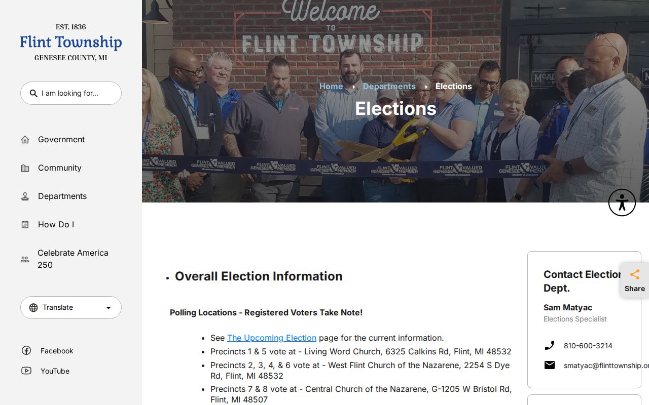
Registration evidence should not be expanded into a list of everyone who lives nearby. Children, unregistered adults, renters, protected voters, and people who have moved may not appear as expected in a voter record.
Flint Township Neighbor Contact Routes
Public community organizations can be a better way to meet people than a records search. These routes publish a program, meeting, or joining contact. They do not authorize reconstruction of a private roster, and no authoritative township-wide HOA or block-club directory was located in the research.
Flint Township Police Neighborhood Watch
Township community-program and safety contact route.
No member list was published in the researched materials.
Flint Neighborhoods United
Flint-area network for block clubs, crime watches, associations, and community groups.
Public meetings are advertised on the first Saturday of each month.
City of Flint Planning Division
Adjacent-city planning and neighborhood-group context.
Its map is not evidence for a Flint Township parcel.
The Flint Neighborhoods United joining page provides the public connection route and meeting information.
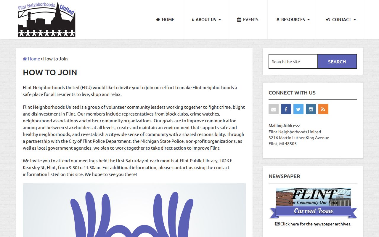
Use a meeting or organization contact to ask about public events, neighborhood history, or voluntary participation. Do not assume that the organization holds or will release member information.
Flint Township Neighbor Planning Context
Flint Township is adjacent to, but separate from, the City of Flint. The City of Flint Planning Division publishes neighborhood resources and a neighborhood-groups map that can be useful context for nearby city geography. It is not a township boundary source, parcel index, or record of Flint Township residents.
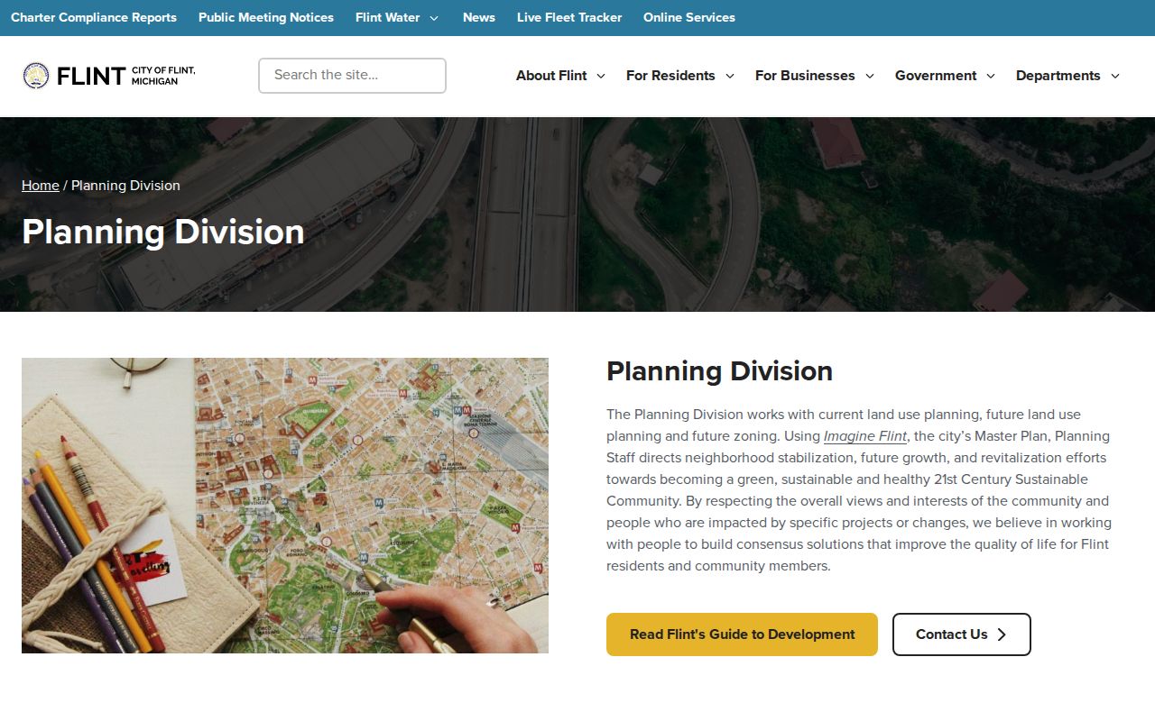
A Flint mailing label, a ZIP, and an adjacent city neighborhood name do not settle the government that holds a parcel record. Confirm the parcel's jurisdiction through the township assessment trail and county parcel materials before linking it to any civic group.
Flint Township Historical Neighbor Leads
Past occupants require a different set of sources. Reverse or criss-cross directories, old telephone books, newspapers, and obituary material may associate a historical household with an address. The exact local reverse-directory run was not verified, so ask GDL McCarty or the Genesee County Historical Society for the volume, date range, and access route before relying on a listing.
A directory entry can show an address, occupation, spouse or household marker, but it does not supersede a deed or parcel record. Older government sources may be available through the Archives of Michigan county guide. The current public federal census endpoint is 1950, so later household evidence needs another source or a request to the proper custodian.
Historical aerials add physical context, not a resident list. Genesee County identifies aerial years from 1937 through 1997, and the road commission offers a 1924 parcel map and Flint Township area map. Those materials can help explain a changed road or structure before a directory or deed is compared, but neither establishes who occupied the parcel.
Flint Township Neighbor Records Compared
Official records and commercial compiled services work differently. A county map or assessor card has a named custodian, a specific record purpose, and a route to ask about a correction. A compiled service may blend public filings with marketing and other data, which can be stale or conflate people with similar names. Neither source is a reason to contact someone without consent.
| Official record route | Commercial compiled category |
|---|---|
| Shows the particular parcel, filing, registration, or public meeting source and its custodian. | May combine data from several sources without showing a clear record date or context. |
| Lets the reader compare parcel number, legal description, and documented time period. | Can make a household inference that does not match the actual property record. |
| Has a government or organization contact for a specific correction or access question. | Uses its own privacy and correction process, which does not change government records. |
Flint Township Neighbor Privacy
Important facts about a block remain private. Renters and other household members may not appear in a public property filing. Utility-customer accounts, delivery records, DMV address data, nonpublic voter fields, protected court files, and a protected participant's actual address are not a neighbor index. Michigan's Address Confidentiality Program uses a designated substitute address and mail forwarding for eligible people facing qualifying threats.
Michigan FOIA offers a path to nonexempt public records, not a way around record-specific protections. A request should name the custodian, record type, narrow date range, and desired format. When an item is unavailable, do not try to fill the gap by combining unrelated records or private group information.
Lawful use. Use public information about Flint Township neighbors for personal, lawful purposes such as civic curiosity, a neighborhood history, or voluntary community contact. Do not use an address trail to monitor, harass, intimidate, or harm anyone.
Note: A blank search result can reflect privacy, an incomplete index, or a different custodian rather than an absence of neighbors.