
Flint Township ZIP Code Directory Coverage
Only one delivery ZIP has direct support from official Flint Township addresses in the source material. The table deliberately separates that evidence from nearby Flint-area ZIPs. Postal labels on a state map are useful context, yet they do not prove that every address in a colored area lies in the township or is served by the same post office. Use the exact-address check before calling a nearby ZIP part of the Flint Township delivery area.
| ZIP | Areas covered | Post office | Notes |
|---|---|---|---|
| 48532 | Verified Flint Township addresses, including township hall and McCarty Library | Exact station for each address not confirmed | Primary observed township ZIP, not a legal boundary |
| 48507 | Flint-area regional candidate near the township | Not verified in source review | Requires an exact USPS address check before a township claim |
| 48503 | Flint-area regional candidate that may touch township delivery geography | Not verified in source review | Postal and city or township lines can differ |
| 48502, 48504, 48505, 48506, 48509 | Flint regional map labels | Not verified for Flint Township service | Do not present as township ZIPs without an address-level result |
The verified conclusion is intentionally narrow. Neither a confirmed list of PO-box-only or unique ZIPs nor an official list of all ZIPs intersecting the township boundary was located. The Michigan map itself cautions that postal boundaries do not coincide with legal municipal boundaries or Census ZIP Code Tabulation Areas.
The state map helps distinguish the wider Flint postal region, but its polygons cannot determine the right assessor or elections office. Start with USPS for the delivery address, then use BS&A and Genesee GIS for the parcel's physical and government context. Keep a nearby postal code marked as a candidate until an official delivery result supports it.
Flint Township 48532 Address Evidence
Official addresses establish 48532 as the best documented starting point for Flint Township. Township hall is at 1490 S Dye Road, Flint, Michigan 48532. The McCarty library branch at 2071 S Graham Road also uses 48532. These are delivery examples, not evidence that all addresses in the ZIP are inside the township. A result for another street must still be checked by its own number, street name, city, state, and ZIP.
The Census Bureau profile lists 31,447 people in Flint charter township in 2020. That number gives useful scale, but it is not a ZIP-level population total. No official per-ZIP township population, registration total, postal station list, split history, or address-point export was found in the reviewed sources. Avoid filling those gaps with estimates from a regional map.
Township hall is a useful benchmark because official offices report their own delivery addresses, while an address list may lag behind a postal change. It does not enlarge the proven service area. The library's 48532 address gives a second public example, but not a numerical boundary.
USPS Flint Township Address Checks
The USPS address lookup is the delivery authority for a specific Flint Township address. Use it before copying a ZIP into another local portal. The tool is more precise than a map because it checks a delivery address rather than a broad postal area.
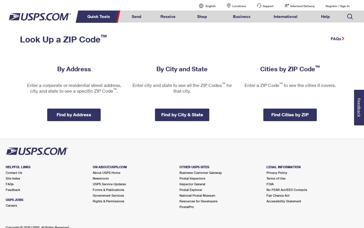
The USPS lookup is the right place to confirm a delivery ZIP, while assessment and GIS systems remain the better sources for parcel jurisdiction and property facts.
- Enter the street number, street name, city, state, and ZIP when checking a known address. Include a unit when the delivery address requires it.
- Compare the returned delivery address with the address in hand. Correct a directional prefix, suffix, apartment, or spelling difference before using the result elsewhere.
- Record whether USPS identifies a delivery address, PO box, or organization or unique ZIP if that distinction appears in the response.
- Use the verified delivery address in BS&A, FetchGIS, MVIC, or a county office inquiry. Do not use the ZIP result alone to decide township jurisdiction.
Flint Township MVIC Address Fields
Local portals do not have a confirmed ZIP-wide resident filter. BS&A exposes address, name, parcel, and animal-license modes plus an Advanced Address Search, but the accessible interface did not verify a ZIP field. FetchGIS may support address or map searching, yet a ZIP filter is also unconfirmed. MVIC does require ZIP as one part of an exact residential-address search for polling and early-voting information. That is an address check, not a ZIP roster.
| MVIC address field | Input | Use and limit |
|---|---|---|
| Residential street number | Required text | Enter the exact number for the address tool. |
| Street name | Required text | Use the residential street name as accepted by the tool. |
| City | Required text or autocomplete | Enter the city accepted for the Flint Township address. |
| State | Required selector | Michigan. |
| ZIP code | Required text | Use the exact delivery ZIP, not a guess based on a map. |
Michigan voter files are public through FOIA with protected fields removed. A formal QVF request can select a jurisdiction or ward and precinct geographic scope, not a verified ZIP-only scope. Driver-license or state-ID data, month and day of birth, phone, email, digitized signature, and last four Social Security digits are withheld. The ordinary lookup's complete live controls and result display were not verified in the source review.
QVF requesters provide a name, organization, mailing details, phone, email, signature, and date, then select one geographic scope and delivery method. The state describes pickup, FTP when arranged, or mail for the encrypted data route, with request-specific fees possible. A requester with a township question should choose the proper jurisdiction rather than converting a postal delivery label into a voter geography.
Search a Flint Township Delivery ZIP
After USPS confirms a delivery ZIP, use the address, parcel, or jurisdiction as the next filter. A ZIP-wide result can mix the City of Flint, Flint Township, and nearby places because delivery routing crosses government lines. A precise sequence narrows the geography without claiming that the ZIP identifies every resident.
- Verify the full address with USPS and keep the exact returned ZIP.
- Search the Flint Township BS&A portal by the address or parcel number, not by an assumed ZIP filter. Confirm the situs address, parcel, and legal description.
- Open the parcel in FetchGIS Genesee to compare parcel geometry, district context, and nearby addresses. Its exact ZIP capability was not verified.
- Use the exact residential address in MVIC only for its permitted registration and election-location result, then check the responsible township or county custodian for the record needed.
Once the address is narrowed, the Flint Township street directory follows the parcel, deed, permit, and historical address trail in more detail.
Flint Township ZIP Code Boundary Mismatch
A ZIP is a delivery-routing key, not a township border. A Flint, Michigan mailing line can be used by an address outside the City of Flint, while a parcel's assessor, precinct, permits, and court path depend on its actual jurisdiction. The property situs address is the physical taxable location. A tax mailing address may be elsewhere. A legal description identifies land for survey and title purposes. None of those should be replaced by a postal label.
Territory check. Do not use 48532, 48503, 48507, or any regional Flint ZIP to establish Flint Township jurisdiction. Confirm the specific parcel and government boundary in township assessment and county GIS records.
- ZIP and ZIP+4
- A ZIP is the main postal routing code. ZIP+4 adds a more specific delivery segment within that routing system.
- PO-box ZIP
- A ZIP assigned for post-office boxes rather than proof that a street-delivery area shares the same code.
- Unique ZIP
- A code assigned to one organization or delivery destination when USPS designates one; none was verified for Flint Township here.
- Carrier route
- A postal delivery grouping used to sort mail. It is not a municipal or parcel boundary.
Flint Township Parcel Keys Beyond ZIP
When a postal address is uncertain, a Genesee parcel number provides the stronger bridge between systems. The county example 25-01-33-400-001 encodes county, township or city, section or subdivision or condominium information, and a suffix. Parcel sequences 100 through 400 refer to metes-and-bounds property, 501 through 599 subdivisions, 601 through 699 condominiums, and 700 through 799 leased-land buildings.
Use that key with the situs address and legal description to connect BS&A, GIS, permits, and deed records. The Genesee County Road Commission map resources add a street index, 1924 parcel map, Flint Township area map, and GIS links for historical geography. An old mailing line should be compared against those parcel clues before treating it as the present address.
Flint Township Postal Data Gaps
Official research did not establish a ZIP realignment or split year for Flint Township. It also did not confirm a complete post-office or station list, PO-box-only list, unique-ZIP list, or every ZIP that touches the legal township boundary. Those are meaningful limits, not missing details to infer from a map. USPS address-management records, township GIS address points, Genesee E911 information, and postmaster records would be the proper places to verify such facts.
Change can occur at different levels. USPS may update a delivery assignment without creating a township boundary, and a new subdivision may appear in a map system before all office routes have matching search behavior. Recheck the current address rather than relying on an old address-book entry.
Flint Township and the City of Flint also remain separate administrative places even when a postal label says Flint. For public-record work, an exact address and parcel jurisdiction are more reliable than a city-name string. That careful distinction keeps a postal lookup useful for delivery verification without turning it into an unsupported resident list.
Note: Recheck any nearby ZIP against USPS when the address includes a new development, a unit, a rural-style route, or a changed street number.